Geography
Lines of Longitude and Latitude
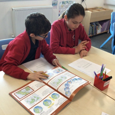
Year 4 explored atlases today and learnt about lines of longitude and latitude. To help locate where a place is in the world, people use these imaginary lines:
- To find out how far north or south a place is, lines of latitude are used. These lines run parallel to the Equator.
- To find out how far east or west a place is, lines of longitude are used. These lines run from the top of the Earth to the bottom.
We also reminded ourselves of the seven continents and identified which lines of longitude and latitude passed through them. We are on our way to becoming proficient cartographers!